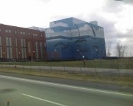
I'll take Landmarks and Geography for....

It's been a long time since it was used I think, an older guy at my marina said people used to go out there and drink...and throw rocks at boats below, until he fired a flare gun up at them :D

I was out on it in high school. No rocks or flares though. Just Maumee cops. :)
 
That bridge, I've always wondered about.
It's at approx. the same height as 80/90, and way to high for the need for a swing bridge in that shallow water (maybe 10-12 feet at best). And then of course 80/90 is fixed, and past 80/90 it quickly goes down to 8' and then 5 foot of water. If you're heading down to P-burg (used to head down there occasionally and walk up to the bars (CASA BARON, John?:sifone:)), you have to kind of snake through some areas that may be as little as 3' of water, and that's about as far West as you'd ever attempt to travel on that section of the river.

Yeah. By the time you get past the 80/90 bridge all bets are off. The rock structures start. But once upon a time..... when it was deeper... they got some pretty big boats to Ft. Meigs. Now when you cross the I-475/US23 bridge at some times of year you can see the rock shelf under the water like a reef. That's why all those Walleye fisherman can be in waders in the middle.
Casa Baron. Had some beers with a Pantera owner there once. :D
 
That bridge, I've always wondered about.
It's at approx. the same height as 80/90, and way to high for the need for a swing bridge in that shallow water (maybe 10-12 feet at best). And then of course 80/90 is fixed, and past 80/90 it quickly goes down to 8' and then 5 foot of water. If you're heading down to P-burg (used to head down there occasionally and walk up to the bars (CASA BARON, John?:sifone:)), you have to kind of snake through some areas that may be as little as 3' of water, and that's about as far West as you'd ever attempt to travel on that section of the river.

Tim, did you see this link in the earlier post.

http://www.michiganrailroads.com/RRHX/Bridges/TTUpperMaumeeRiverSwingBridge.htm

Gives a lot of history on thr bridge and the reason for the swing, all though hardly ever swung open.
 
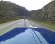
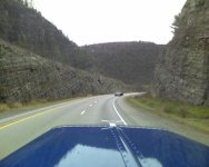
Name the pass or Interstate, appx mile post and state
 

Attachments

  • Photo_111709_001.jpg
    Photo_111709_001.jpg
    68.3 KB · Views: 12
  • Photo_111709_002.jpg
    Photo_111709_002.jpg
    72.7 KB · Views: 16
US 19 is the main drag through St Pete, Fl.

Never made a steady habit of run'n FL. If produce wasn't running, you weren't get'n out. Would have to bounce all the way into GA to find freight. With the influx of empty trucks in GA, the brokers would start cut'n the rates up there.
Just a nasty cycle
 
Never made a steady habit of run'n FL. If produce wasn't running, you weren't get'n out. Would have to bounce all the way into GA to find freight. With the influx of empty trucks in GA, the brokers would start cut'n the rates up there.
Just a nasty cycle

There is a produce inspection building in the middle of US 19 at Fanning Springs, Fl. All trucks, including pick ups are supposed to stop there. I stopped once in my dually, and they guy in the shack looked pizzed, and wave me on through. There is also one on Hwy 27 where it crosses the Suwannee River. Branford I think is the name of the town. They serve no purpose whatsoever. Just another way Dixie County can bring in money. It's one of the poorest counties in Florida. When your main industry is prisons, it doesn't speak highly of you. There are only three traffic lights in the entire county.
 
Back
Top